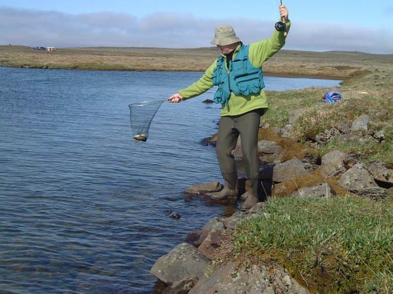
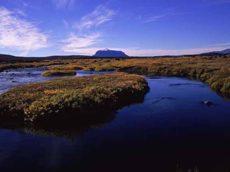
“Eagle Lake moors” is a larg green, lake-studded landscape in the highland, south of Húnaflói. The area extends for 80km or so south to the glaciers of Eiriksjokul and Langjokul. It´s a popular trout fishing venue in a wild, lonely nature. 4WD track.
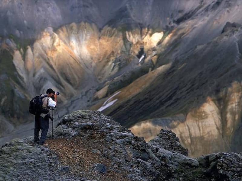
The Highlands
55 niðurstöður
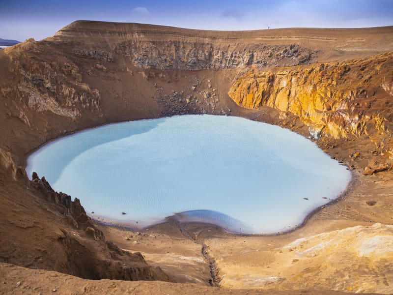
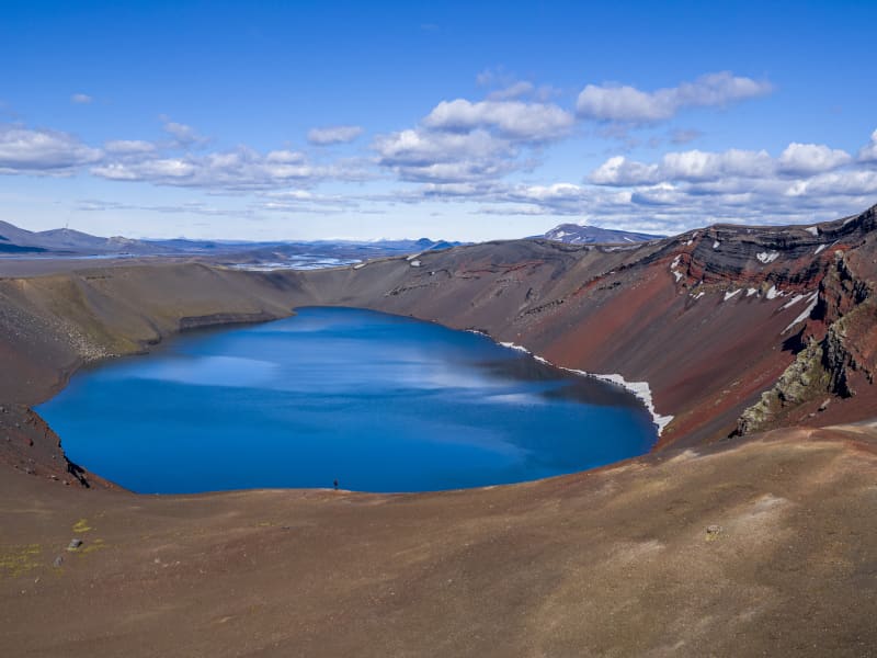
Askja
Askja is a 50 km2 caldera in the Dyngjufjoll mountains.
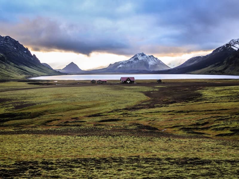
Álftavatn in Rangárvallaafréttur
Álftavatn is a beautiful lake in the southern Icelandic highlands
Bárðarbunga
Bárðarbunga, is a stratovolcano located under Vatnajökull, Iceland's most extensive glacier. The second highest mountain in Iceland, 2,009 metres (6,591 ft) above sea level, Bárðarbunga is also part of a volcanic system that is approximately 200 kilometres (120 mi) long and 25 kilometres (16 mi) wide.
Bláhnúkur in Landmannalaugar
Bláhnúkur is popular mountain in the Landmannalaugar-region to walk on top on.
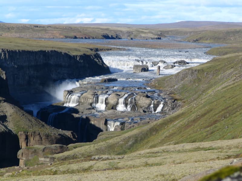
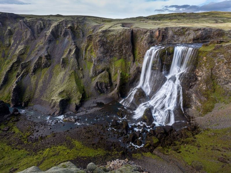
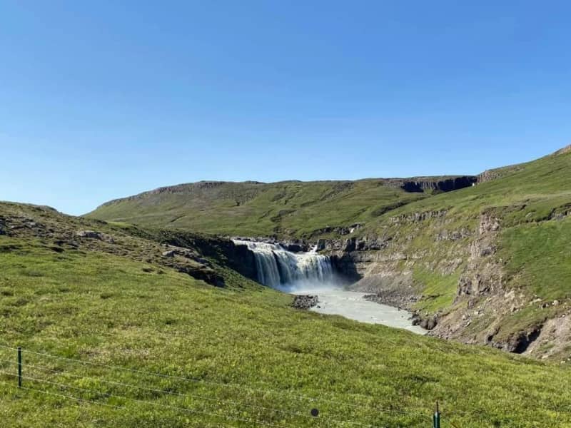
Dynkur in Þjórsá river
Dynkur is a majestic waterfall, about 38 m. High in Þjórsá.
Eldgjá canyon
Kirkjubæjarklaustur
Eldgjá is an old tectonic graben reactivated in a massive eruption in 934-940.
Eyjafjallajökull Glacier
Hvolsvöllur
The Eyjafjallajökull glacier is a 1651 m high glacier-capped stratovolcano.
Fagrifoss Waterfall
Kirkjubæjarklaustur
Fagrifoss is a scenic 80 m high waterfall in the Geirlandsá River.
Fimmvörðuháls
Hvolsvöllur
Fimmvörðuháls is situated in between two glaciers, Eyjafjallajökull and Mýrdalsjökull.
Fishing in Landmannaafréttur
Many other lakes, apart from Veiðivötn, are located south of Tungnaá, and fishing permits for twelve of them can be bought from the wardens at Landmannahellir.
These are the lakes Blautuver, Dómadalsvatn, Eskihlíðarvatn, Frostastaðavatn, Herbjarnarfellsvatn, Hnausapollur (Bláhylur), Hrafnabjargavatn, Kílingavötn, Lifrafjallavatn, Ljótipollur, Löðmundarvatn and Sauðleysuvatn. Ljótipollur and Hnausapollur are the youngest of these lakes, with the former dating from 1477 and the latter from 871.
Most of these are closed lakes, although Helliskvísl flows out from Löðmundarvatn, and Blautuver and Klingavötn are connected to Tungnaá. Only trout is caught in Ljótapollur, Herbjarnarfellsvatn, Lifrarfjallavatn and Dómadalsvatn. Trout and Arctic char is caught in Blautuver, Frostastaðavatn and Kílingavötn, but only Arctic char in other lakes.
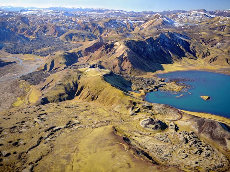
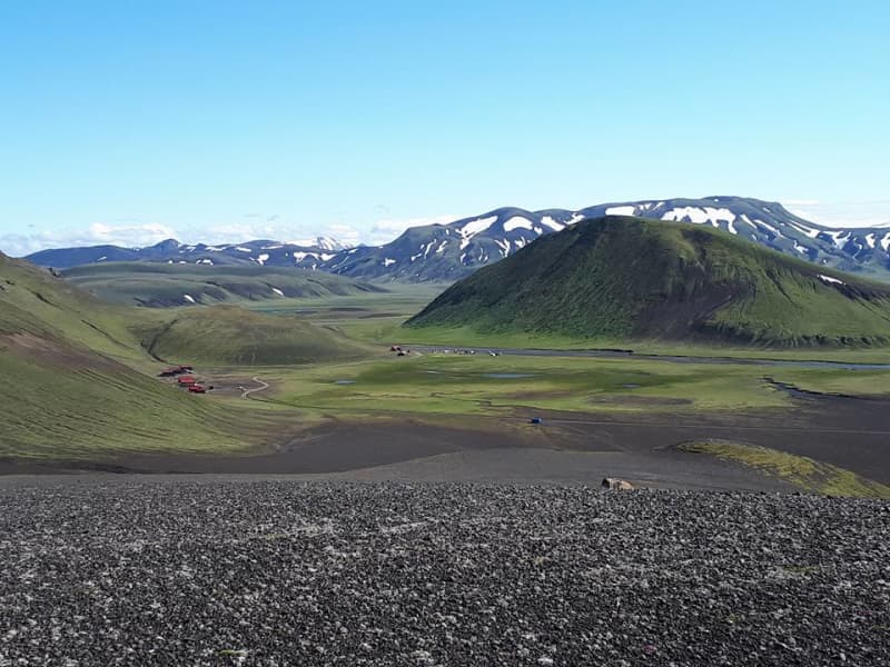
Fjallabak Nature Reserve
Hikers are drawn to the scenic landscape of this nature reserve with many trails & hot springs
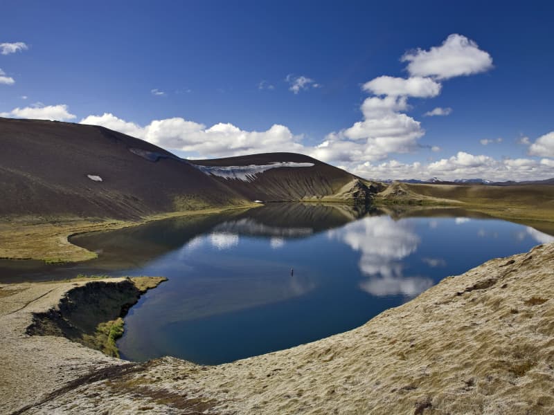
Frostastaðavatn
Lake Frostastaðavatn rests in breathtaking nature and is surrounded by black lava fields

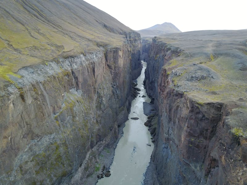
Hafrahvammagljufur
Egilsstaðir
Hafrahvammagljúfur in Austurland is one of the largest and most magnificent gorges in Iceland. The gorge is about 200 meters from the bottom to the edge (where it is highest), and the canyon is about 8 kilometers long. There is a marked hiking trail along the gorge and down to Magnahellir. You need a four-wheel-drive car to drive to the trail's starting point, but you can see part of the gorge from Kárahjúkar dam, and you can get there by an average car.
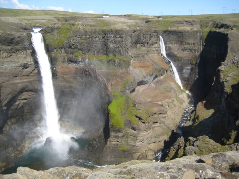
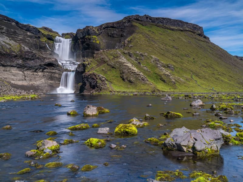
Háifoss Waterfall
Selfoss
The waterfall Háifoss is situated near the volcano Hekla in the south of Iceland.
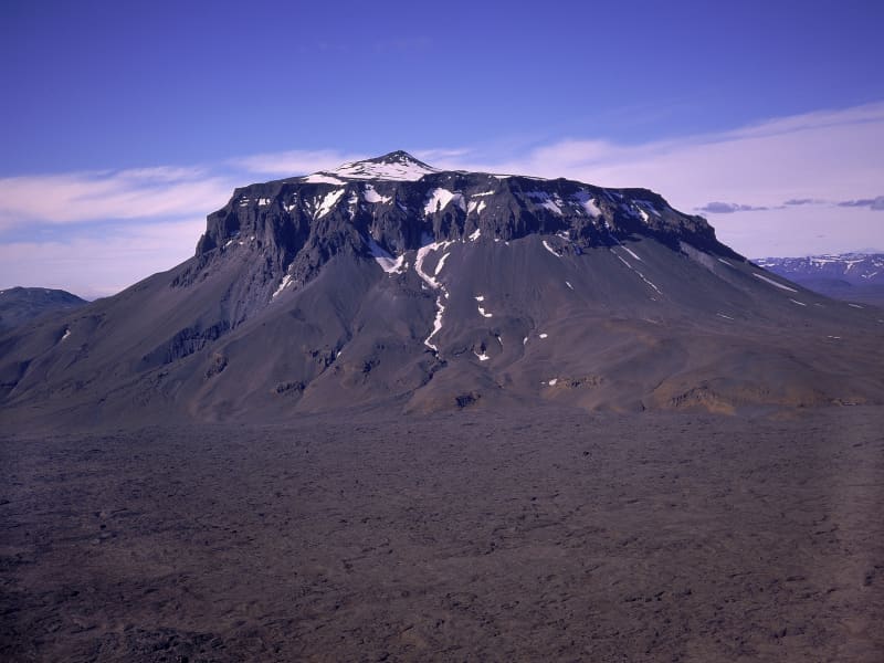
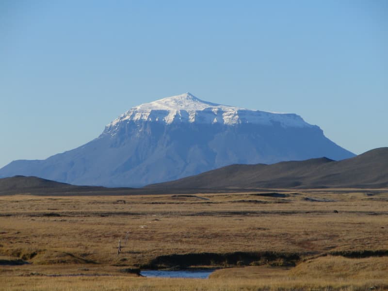
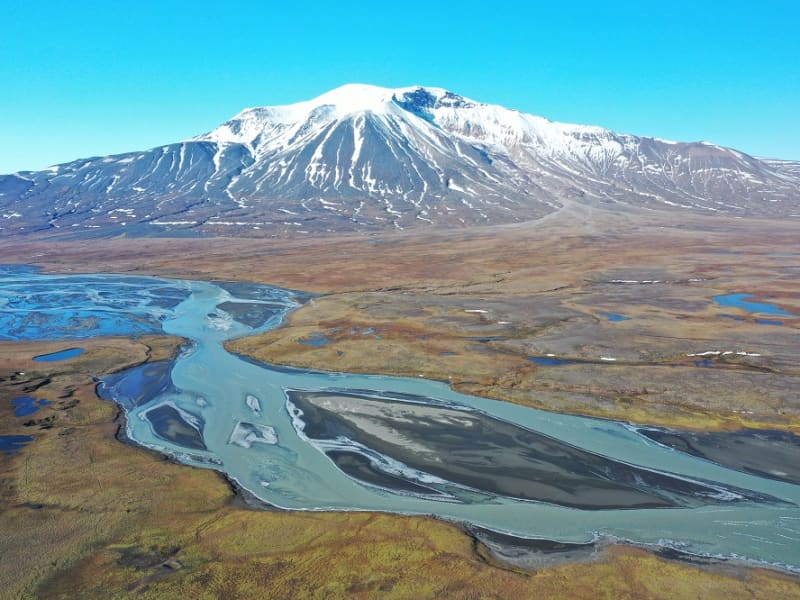
Herðubreið
Mt. Herdubreid on the Oskjuleið Route is a 1682m high table mountain. It is the national mountain of Iceland and often called the “Queen of Icelandic mountains”.
Herðubreiðarlindir
At the foot of Herðubreið are the Herðubreiðarlindir Springs, a spot with magnificent views and diverse natural attributes – which is probably why so many people consider this to be one of the most beautiful places in the country’s wilderness.
Hungurfit in Rangárvallaafréttur
There have been lodge facilities in Hungurfit since 1963, when a mountain lodge, housing 20 people, was built there. This was a great improvement for mountain shepherds, who previously had to sleep in tents. In 2013, a new mountain lodge was opened in Hungurfit, housing 50 people. It is one of the most modern mountain lodges in Iceland, with running water, a flushable toilet and electricity.
Hungurfit has unique natural beauty, and the area is suitable for hiking, jeeping and horse riding. There are excellent horse riding trails leading from the area, both to Rangárbotnar, Sultarfit, Faxi and onto Hvanngil and down to Fljótshlíðarafrétt. It is a day’s journey by horse from Hungurfit to Foss at Rangárvellir. The river Hvítmaga has its source at Hungurfit, and it is highly enjoyable to travel by horse or foot along the river.
Above the mountain lodges, the Skyggnishlíðar ridge leads up to the mountain Skyggnir. Skyggnishlíðar is a popular hiking destination, as the view from there is spectacular on a clear day. It is also highly enjoyable to walk or ride to Sultuarfit and towards Gimbragil and Hrútagil or into Jökulskarð.
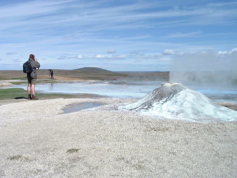
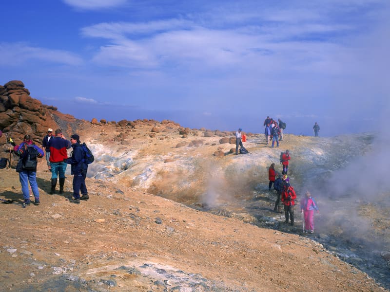
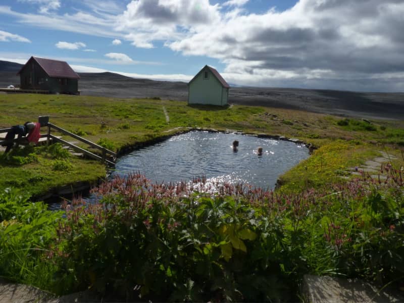
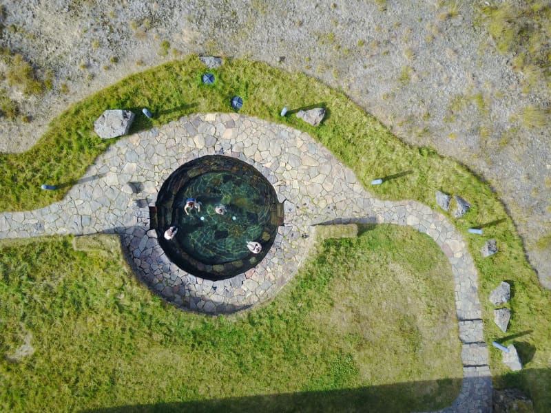
Hveravellir
The “hub” of the Kjolur Route, is a geothermal area of fumaroles, and multicoloured hot pools. There are two mountain huts with kitchen facilities and a nice hot pool just outside the hut.
Höfðabrekkuheiði, Þakgil
Vík
A breathtaking 14 km drive from ring road no. 1 to Þakgil campsite and hiking area. Surrounded by black sand and glacial rivers, a gravel road crosses the heath of Höfðabrekka, a tuff ridge between rivers Múlakvísl and Kerlingadalsá formed during the last Ice Age when volcanic material forced its way from beneath the glacier following a sub-glacial eruption. The road is closed during the winter. The vegetation in this area is highly vulnerable to trampling; please always keep to trails.
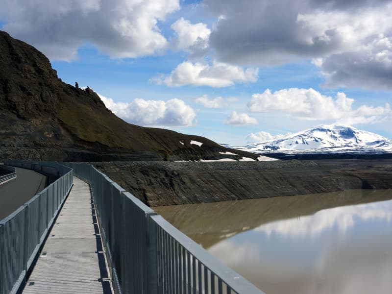
Kárahnjúkar
Egilsstaðir
The Power Plant at Kárahnjúkar is the largest construction project in Icelandic history and the most significant electricity production in the country. The Kárahnjúkar Power Plant was built to produce energy for the aluminum plant at Reyðarfjörður.
A trip to Kárahnjúkar is an ideal road trip for the family. A paved road runs from Fljótsdalur to the Kárahnjúkar dam.
The Kárahnjúkar area is ideal for outdoor activities. It is fun to see the Kárahnjúkar Dam itself and the Hálslón Reservoir. When Hálslón fills up and overflows, the Hverfandi waterfall appears at the western end of the dam, where the water plunges about 100 meters into Hafrahvammahljúfur. The waterfall is mighty and can become more powerful than Dettifoss. There are also fun hiking trails in the area; for example, there is a great hiking trail along Hafrahvammagljúfur and to Magnahellir, but to get to the starting point of the marked hiking trail, you need a four-wheel-drive car.
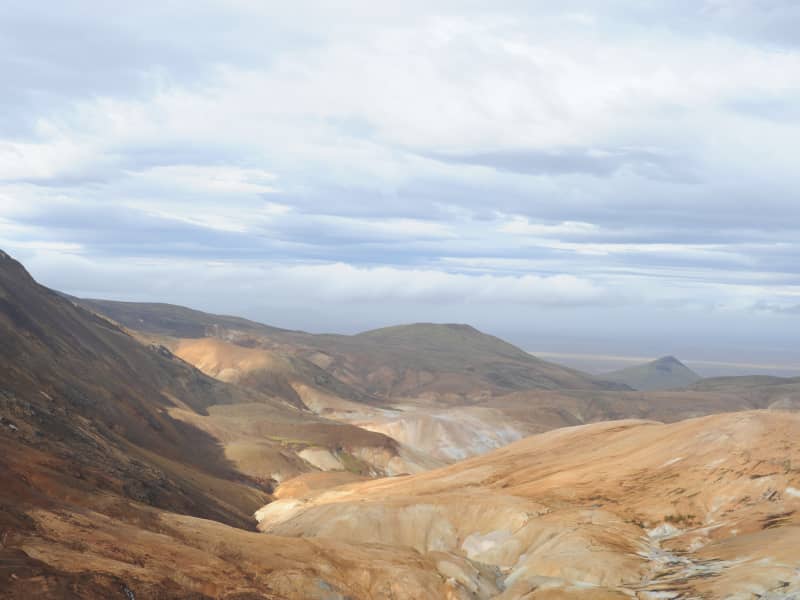
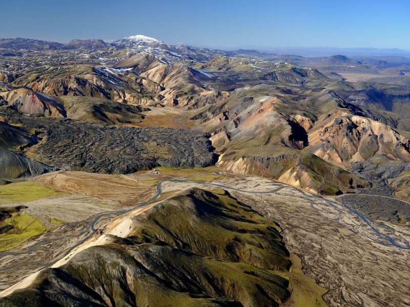
Kerlingarfjöll Mountains
The mountain massif Kerlingarfjöll is the main ornament in the chain of mountains and glaciers framing the Kjölur area.
Kverkfjöll
The Kverkfjöll mountain range, Iceland's third highest mountain group, is a cluster of peaks formed by a large central volcano on the northern edge of the ice cap.
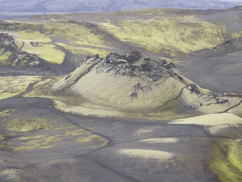
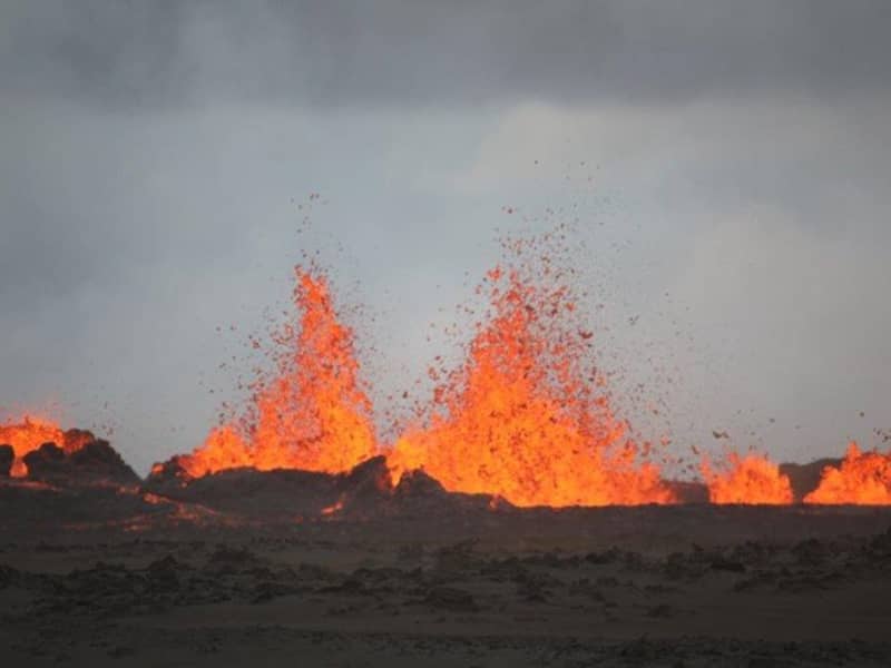
Lakagígar and Laki
Lakagígar is a row of craters, formed in one of the world's largest mixed eruptions in recorded history.
Landmannahellir
Landmannahellir in Landmannaafréttur has long been a destination point for travellers passing through the area. The name of the place is drawn from a cave there which was used for centuries to shelter both men and horses.
At present, the location is a popular stopping point for both hikers and riders who stay there during the summer. There is, moreover, a campsite at the location. The operation of the area is in the hands of Hellismenn ehf. The company owns a number of huts at the location, as do Veiðifélag Landmannaafréttar and private entities.
A well-known hiking trail, Hellismannaleið, lies through the area and has now been signposted from Rjúpnavellir through Áfangagil to Landmannahellir and from there to Landmannalaugar. In order to reach Landmannahellir cave, one needs to use the Dómadalsleið (road F225). The road is approximately 80 km long from Landvegamót to Landmannahellir.

Landmannalaugar - Nature Reserve
Landmannalaugar derives its name from a hot pool that rises from under the Laugahraun lava field.
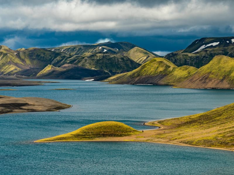
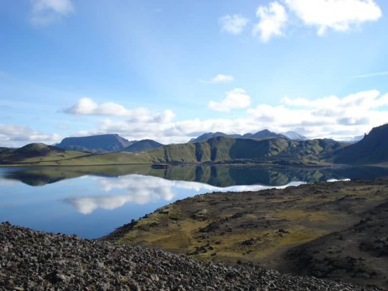
Langisjór Lake, Fögrufjöll, Grænifjallgarður
Langisjór is a beautiful lake in the Highlands of Iceland.
Langjokull Glacier
Reykholt í Borgarfirði
Langjokull Glacier is the second largest glacier in Iceland.
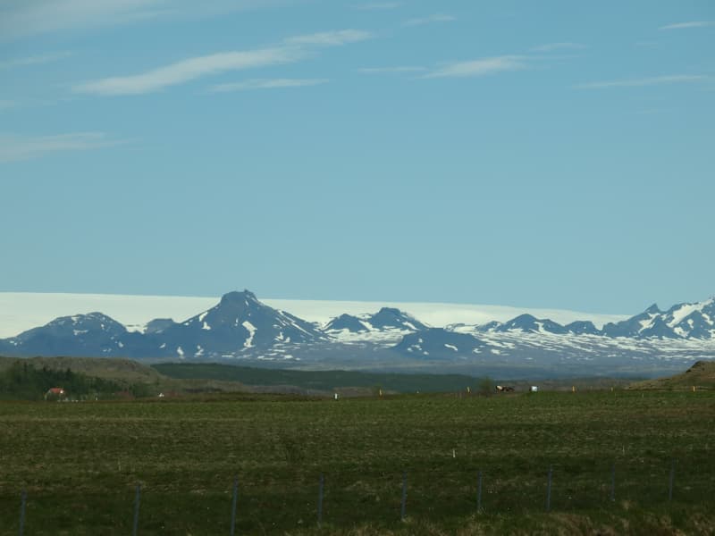
Langjökull Glacier
Langjökull is the countries second largest glacier.
Laugafell
On the north-western slopes of the mountain Laugafell, there are geothermal hot springs bubbling and three mountain huts open in summer, with kitchen facilities and a nice geothermal nature pool outside.
Laugarfell
Egilsstaðir
Laugarfell is located in the eastern part of the Icelandic Highlands, a bit north from Mount Snæfell. There are only two km from the road that leads to Kárahnjúkar to the hostel and it is the only part of the road that is not paved. In the summer there is good access to Laugarfell in all kinds of vehicles.
Laugarfell offers accommodation for 28 people. Two natural pools are located in Laugarfell and according to old folk tales the water is known for its healing powers.
There are many interesting tracking paths around Laugarfell and a number of beautiful waterfalls. Additionally, one can expect to see reindeers wandering around the area of Laugarfell.
Laugarfell is open from the 1st of June to 30th of September.
Ljótipollur
Ljótipollur is an explosion crater in the Nature Reserve of Fjallabak and is part of the Veiðivötn volcanic fissure system.
Lónsöræfi
In Lón District, the most eastern area of the Vatnajökull Region, lie the Stafafellsfjöll mountains, also called Lónsöræfi. They dominate the skyline east of the Vatnajökull glacier and have long comprised one of Iceland’s most extensive protected areas. Besides the deep, rugged canyons, the landscape displays a wide range of colors owing to the presence of rhyolite and other colorful rocks. In contrast, there are also lushly vegetated and sheltered valleys offering a very good chance of spotting reindeer. The numerous hiking trails make this area perfect for hiking. Keep in mind that getting there can be very difficult and one should seek advice from a visitor- or information center before attempting to go there.
Magnahellir
Egilsstaðir
Drive north of Kárahnjúkastífla reservoir along a road (fit for SUV) on Lambafell to crossroads by Laugavellir. Drive down to a parking area by Dimmugljúfur canyons. There you will find a sign containing information and the trail running through Hafrahvammar canyon and Magnahellir cave where you will find the cylinder with the visitors’ log and stamp. The farmers in Eiríksstaðir used to keep their sheep in the slopes by Jökulsá river close to the cave called Magna cave which derives its name from the farmer named Magni who was the first one to keep his sheep there in winter.
Part of Hiking Treasures in Egilsstaðir Region
GPS : N64°99.252-W15°71.683
Powered by Wikiloc
Mýrdalsjökull glacier and Katla
Mýrdalsjökull is a glacier located in the south of Iceland. It is situated to the north of Vík í Mýrdal
Möðrudalur
At an altitude of 469 m, Möðrudalur farm lies higher than any other Icelandic farm. The remarkable, tiny church was built by the farmer himself, Jón Stefánsson, in 1949.
Norðurdalur - Mountain biking
Egilsstaðir
The start of the trail is at the Ufsárlón reservoir, east of the bridge over the Jökulsá í Fljótsdal glacial river. Please close the gate after you. The trail leads down the valley along the glacial river along the fence and stops at Glúmstaðarsel. From there you can cross the river with the cable car or keep on going with the road leading out the valley to you final destination.
The trail is set at a medium difficulty. there are short wetlands areas, but they are not very difficult to pass. The path itself is not dangerous, but we ask people to take extra care close to the cliffs.
More information about the mountain biking trail in Norðurdalur can be found here.
Ófærufoss waterfall - Nyrðri Ófæra river
Ófærufoss is an extremely beautiful waterfall in the river Nyrðri-Ófæra and falls into Eldgjá in two cascades. There used to be a stone arch across the lower one up until the year 1993, when it fell into the river during spring thawing. From Northern Fjallabaksleið it is possible to drive into Eldgjá and walk from there to the Ófærufoss. A road lies up to the eastern edge of Eldgjá. To get there, one needs to cross the river Nyrðri-Ófæra at a wading place, which can be risky. It is safe to recommend a walk up the mountain Gjátindur, from where there is magnificent view of Eldgjá, mountains by Langisjór and Lakagígur and its surroundings.
Ófærufoss falls into Eldgjá in Skaftártunguafréttur. Eldgjá is an approx. 40 km long eruptive fissure, approx. 600 meters wide in many places, and up to 200 meters deep. When it was formed, probably around 934, there were likely eruptions along the whole extent of it. The fissure is believed to reach under Mýrdalsjökull glacier. From Eldgjá, extensive streams of lava have flowed through Landbrot and Meðalland, reaching sea at Alviðruhamrar in Álftaver. The lava-field is believed to cover 700 km², which makes it one of the vastest lava-fields on earth in historical times, that is, after the last ice age.
Eldgjá is believed to belong to the same crater system as Katla. Eldgjá is a unique natural phenomenon and is listed as natural remnants. Plans to make Eldgjá and its surrounding area a part of Vatnajökull National Park are in place.
Theories have surfaced that suggest that the Eldgjá eruptions had even more effect in Europe then the Lakagígar eruptions. According to newly discovered evidence, crop failure, plagues and other disasters occurred in both Europe and the Middle East at that time. It has also been speculated that these eruptions caused more damage than the eruptions of Lakagígar.
Sanddalur
Egilsstaðir
Sanddalur is a beautiful valley that lies south of Snæfell. The valley is barren and breathtaking with green moss plains and peculiar rock formations that envelop the valley with a fairytale glow. To go to Sanddalur you need a four-wheel-drive car, but you can also walk there from road number 910 to Kárahnjúkar.
Snæfell
Egilsstaðir
Mt Snæfell towering to 1,833 m, is the highest mountain in Iceland, outside the glacier regions. Even so, and despite the omnipresent snow, (Snæfell = "The Snow Mountain), it is fairly accessible from Snæfellsskáli hut. While Snæfell boasts a splendor of its own, it offers a fabulous view, partly overlooking the oasis of Eyjabakkar. Eyjabakkar is the choice habitat for geese. Reindeer can frequently be spotted west of Snæfell, towards Hálsalón reservoir, in addition to other territories in the East Iceland highlands.
GPX file of the hike is accessible here
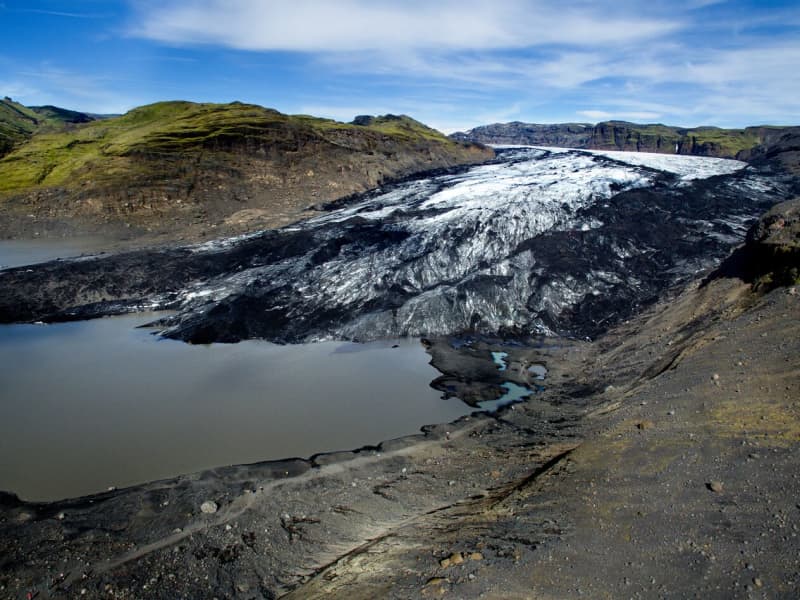
Sólheimajökull
Vík
Sólheimajökull is an outlet glacier that descends from the southwest corner of Mýrdalsjökull.
Sótavistir - Hiking trail
Egilsstaðir
A marked hiking trail at the foot of Snæfell where Sótajökull is disappearing from a glacier basin in the mountain called Sótavistir. At the bottom stands a large crag of dark slag rock that the sliding glacier has raised on its end so that it resembles a boulder. It is called Sótaleiði, named after the giant Sóti.
Sænautasel highland farm
Egilsstaðir
The farm of Sænautasel, situated up in the highland of Jökuldalsheiði, was inhabited from 1843-1943. In the years 1875-1880, however, it was left abandoned as a result of the lavish ashfall emanating from volcano Askja during an 1875 eruption. Rumour has it that the farm served as a model for "Independent People", the most popular novel of Iceland's only Nobel Prize winner, Halldór Laxness. Now rebuilt, the interior and exterior of the turf buildings are open to visitors during the summer. Guided tours help reveal the conditions of earlier Icelandic generations. Refreshments in traditional style are offered in the summer time.
The Waterfall Circle
Egilsstaðir
The Waterfall Circle is an 8 kilometers long hiking circle that starts and ends in Laugarfell. The trail takes you through a rugged and varied highland landscape and features five waterfalls, along with breathtaking views of Snæfell mountain and a dramatic canyon.
This beautiful hike is getting more and more popular among hikers and takes around 2–3 hours to complete, depending on conditions and pace. While it’s not overly difficult, there are a few steep and rocky sections, so sturdy footwear is recommended.
After the hike, you can soak your tired legs in Laugarfell’s natural hot spring. This trail is typically accessible from mid-June once snow has melted in the highlands.
GPX file of the trackPowered by Wikiloc
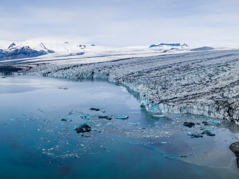
Vatnajökull Glacier
Vatnajökull is the largest glacier in Iceland, and the largest glacier by volume in the whole of Europe
Vatnajökull National Park
Egilsstaðir
Vatnajökull national park established in 2008, covers around 14,5% of Iceland. It covers the entire Vatnajökull glacier, large areas in its vicinity and numerous municipalities. National parks are protected areas that are considered special because of their natural or historical significance. The uniqueness of Vatnajökull National Park lies mainly in the interplay between fire and ice.
Among highlights of the east are Kverkfjöll, the home of Ice and fire, the oasis Hvannalindir, Snæfell the ancient volcano, where the reindeer roam and Eyjabakkar the celebrated home of the Pink-footed Goose.
Víknaslóðir
Víknaslóðir trails, sometimes also referred to as Trails of the Inlets is a vast net of well-marked and versatile hiking routes reaching from the village in Borgarfjörður Eystri to Loðmundarfjörður. Locals have through the years marked out and maintained numerous trails, making the area a rightfully called hiker's Paradise. They also publish a high-quality hiking map and operate comfortable hiking lodges with facilities in Breiðavík, Húsavík and Loðmundarfjörður, deserted inlets and fjord, south of Borgarfjörður Eystri.
The mountains come in all shapes and sizes and the variety of colors is stunning; everything from the black sand beaches to the pinkish orange hues of the mountain ridges. The trails wind themselves between isolated coves and fjords over colorful hills and through green valleys all the way down to the coast. Abandoned houses and ruins of ancient farms leave their mark on the surroundings.
Travellers can easily spend a few days in the area exploring and taking in the breathtaking views. Tourism companies in Borgarfjörður Eystri offer hikers all kinds of services related to their journey, whether it be tour planning, guidance or transport.
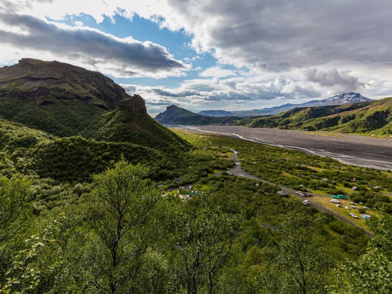
Þórsmörk
Hvolsvöllur
Þórsmörk (Thórsmörk) is a natural gem that sits between Mýrdalsjökull to the east, the river Krossá in the south, with Markárfljót and Þröngá Rivers to the north.

Grænadyngja
Hiking in Reykjanes
Hrafntinnusker
Hrafntinnusker in Torfajökull glacier is a place you must visit.
Hvannargil
Egilsstaðir
Walk from the sign by road F905. A circular trail from Kjólsstaðaskora then Vatnsstæði, inside the lowest Hvannárgil creek through all three creeks to the end of the highest. The highest creek is spectacular and ends in a waterfall. The cylinder with the visitors´log and the stamp is in the highest creek. Walk back down Slórdalur.
GPS: N65°16.868-W15°47.418
Powered by Wikiloc
Skessugarður
Egilsstaðir
Skessugarður - the Rampart of the Giantess is a natural phenomenon in East Iceland, which has been called one of the most amazing natural formations in the country. It was formed by an ice-age glacier, Brúarjökull. It is a large arch-shaped moraine and consists of massive boulders (porphyritic basalt) making up to a ca 300 meters long and ca 7 meters high natural wall. It lies from west to east. It marks the stagnation level of Brúarjökull at the end of the last glacial period.
After the stagnation of the glacier, a flood followed which washed this area clean of smaller rock leaving behind the big ones which makes this moraine unique as it lacks all smaller, finer sand particles and stones, or the glacial flour.
Skessugarður is located by the lake Grjótgarðsvatn was of Sænautasel turf house, on the other side of Mt. Snæfell. Turn left onto the old ring road (number 907, a gravel road) after you leave Sænautasel and drive for a couple of km. Then turn left onto a dirt road, which turns into a track until you reach Skessugarður after 2 km.
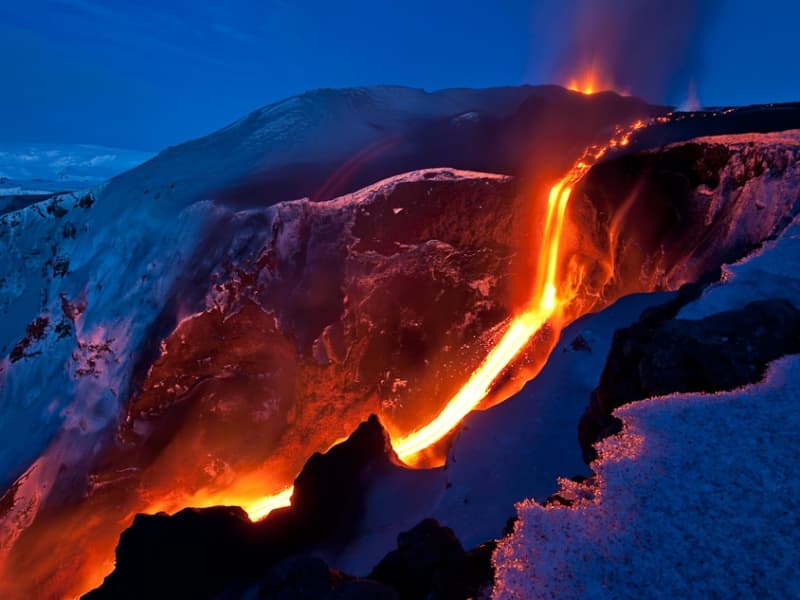
Volcano Katla
Katla is one of the largest central volcanoes in Iceland, covered by the Mýrdalsjökull ice cap. The volcanic system , including Mýrdalsjökull area and thr fissure swarm, Eldgjá, northeast of it, is about 30 km wide in its south-western part, narrowing gradually to the northeast and reaches a lenght of 78 km.